According to the change of the operation scenario, the map is automatically updated and the path is automatically replanned to realize the real-time dynamic task update.


SLAM

VRP

SCN

AGV

Power

AI

LDCM

WMS
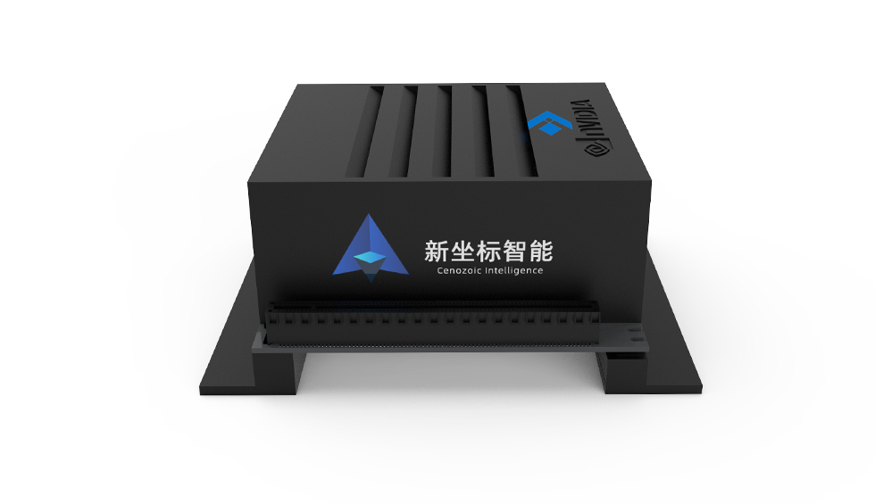
Multi-sensors · 3D / 2D lidar · Monocular\ Binocular camera · Ultrasonic radar · Millimeter wave radar · IMU
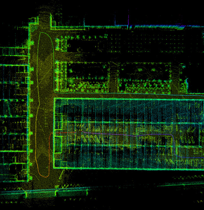
The outdoor high-precision positioning system and algorithm based on multi-mode GNSS-RTK technology were independently developed and matched with SLAM map to achieve outdoor 2cm high-precision dynamic positioning.

According to the change of the operation scenario, the map is automatically updated and the path is automatically replanned to realize the real-time dynamic task update.

The three-dimensional drawing planning algorithm can efficiently and accurately plan the path of complex scenes. According to the operation path, the interactive multi-model mechanism is used to dynamically change the motion model, so as to realize the optimal indoor and outdoor path and dynamic motion planning.
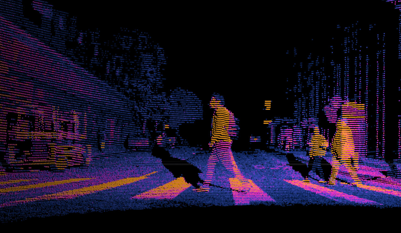
Deep learning algorithm can use laser point cloud to identify people, vehicles, objects, etc., and dynamically mark the distance and direction of movement, so as to realize interactive motion obstacle avoidance and control following.
What we have is just what you want
Focus on unmanned driving
Robot vacuum
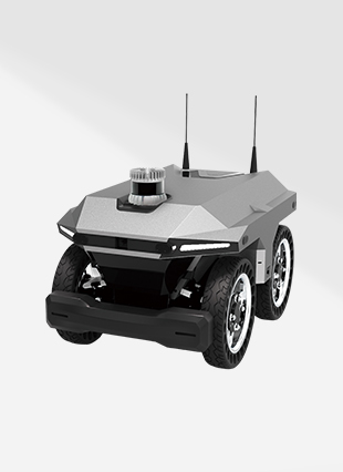
Autonomous navigation robot
Intelligent all-electric lawn mowers
Intelligent disinfection Robots